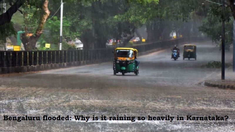
More rain is expected as Bengaluru experiences severe flooding in its streets and residential areas. After recent severe rains, some portions of the city are still underwater.
The state is expected to have heavy rainfall on Tuesday as well, according to the India Meteorological Department (IMD).
The IMD has stated that over coastal and south interior Karnataka for the next five days, it is highly possible that there will be very widespread rainfall accompanied by thunderstorms and lightning.
The biggest amount of rain in the state fell on Bengaluru city on Monday night, totaling 13 cm, damaging public facilities. Monsoon activity became vigorous over 16 districts of south interior Karnataka, while it remained weak over the coastal regions of the state comparatively.
The extra precipitation was brought on by a shear zone that had formed between 4.5 and 5.8 kilometres above mean sea level and that dumped torrential rainfall across southern interior Karnataka, including Bengaluru City.
An area with conflicting winds that concentrates heavy rain is known as a shear zone and is a monsoon weather phenomenon.
While the state is likely to see low to moderate rainfall today, Tuesday is predicted to bring significant downpours that could last for several days.
Post Your Comments