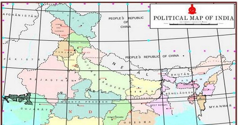
The Centre granted access to India’s geospatial data and settings, including maps, for all organizations in the nation, to “realize India’s vision of Atmanirbhar Bharat and the aim of a 5 trillion-dollar economy”. With this, private entities can now reach such data without any limitations or seeking previous permissions.
“What is readily available globally does not need to be restricted in India and therefore geospatial data that used to be restricted will now be freely available in India,” the Ministry of Science and Technology said in a declaration. The update is a major development in the country’s mapping system, which earlier needed individuals and companies to ask permission for usage of mapping data under the Geospatial Information Regulation Act, 2016.

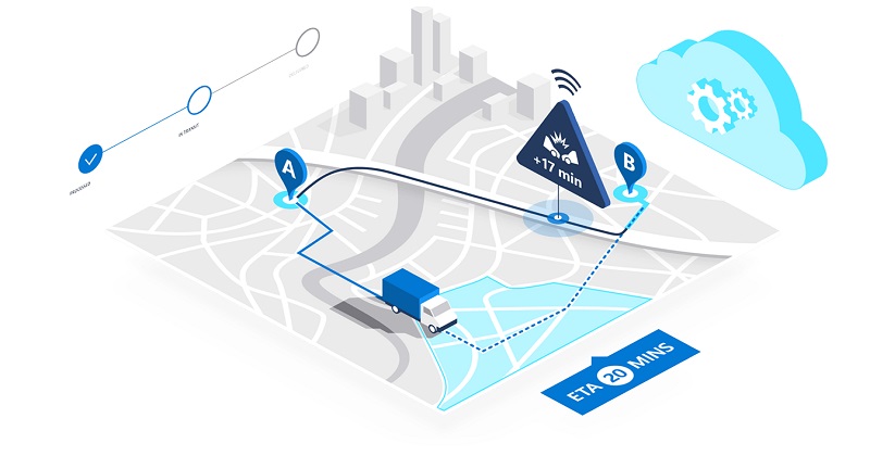
The ministry announced that maps and detailed geospatial data were necessary for several infrastructure plans as well as required for technologies such as eCommerce, Digital India, delivery, logistics, among others. “India’s farmers, small businesses, and corporations alike stand to gain tremendously from the application of innovative technologies based on modern geospatial data technologies and mapping services,” it said.
The ministry said that the policy update will help Indian innovators to make advances in mapping, leading to empowering small businesses and creating the lives of the country’s citizens easier. “We look forward to India emerging as a mapping power, creating next-generation indigenous maps of India and taking these new technologies to the rest of the world,” the statement said. The ministry aimed out that startups and mapping innovators will be assumed to self-certify and use good judgment to display adherence to guidelines associated with the matter. The center has announced some constraints for the reforms. For example, there are limitations on showing the characteristics or features of some delicate areas but there are none on examining these areas.

It has also suggested increasing the development of Indian geospatial modifications that make usage of the latest mapping technologies. Ashutosh Sharma, secretary to the Department of Science and Technology, said that ease of collecting data, using it, and sharing it was a chief interest of the government as it decided to free the process. “Government agencies and private sector must collaborate very strongly to avoid duplication and also to bring in speed and scale in the whole process of collecting and using data,” he said. “The guideline is not for access, but only for surveying.”
Read more; “Sattur explosion” ; Death toll rises 20, Officials to form teams for detailed probe
Only Indian entities are provided to manage terrestrial mapping and surveying. Also, data produced from these can be held only by Indians. Foreign players can allow the information but not own it. In a list of tweets, Prime Minister Narendra Modi announced that the change will open possibilities for start-ups, research institutions, and private and public sectors to drive innovation, and also make employment and boost economic growth.

Post Your Comments