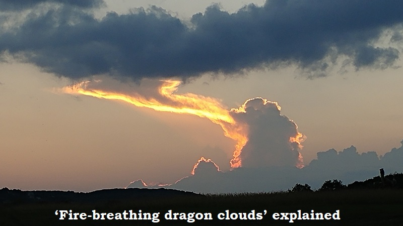
A pyrocumulonimbus, a roughly 50,000-foot plume that is becoming an increasingly frequent occurrence, was shown in this week’s aerial images of the McKinney fire. The most recent cloud-producing fire of this year is burning largely unrestrained in the Klamath national forest of California. They are analogous to fire-triggered thunderstorms and are particularly dangerous for firefighters, according to Derek Mallia, a researcher at the University of Utah who just co-authored a paper detailing how smoke plumes are growing larger.
Thunderstorms are usually produced by large-scale storm systems like a low-pressure region or a cold front. However, if a fire is big enough and there is enough moisture in the air, it can create its own thunderstorm where smoke interacts with the resulting thunderstorm cloud. The fire is essentially creating its own weather, according to Mallia.
They can also make fires unpredictable because they leave a space between the cloud and the ground. In 2021, US Naval Research Laboratory meteorologist David Peterson asserted that a wildfire produces more rising air the hotter it burns during a virtual press conference. These are injecting smoke at altitudes above jet aircraft cruising altitudes by pushing smoke upward at extremely high speeds. We may be talking at 50 or 60,000 feet, then.
Researchers are continually learning more about fire-related storms. Mallia and his colleagues are looking for a method to forecast when pyrocumulonimbus clouds will arise, which will help firefighters and fire management. They also want to know what role the clouds may have in the continuous warming of the atmosphere. Mallia issued a warning that smoke that entered the lower stratosphere might affect the climate. When black carbon, which is prevalent in smoke particles, is exposed to sunlight at high altitudes, it can result in warming.

Post Your Comments