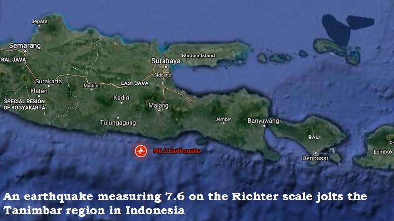
According to the European Mediterranean Seismological Center, an earthquake rocked the Tanimbar region of Indonesia on Tuesday, measuring 7.6 on the Richter scale (EMSC).
According to EMCS, the earthquake occurred 95 kilometres beneath the surface of the earth. The Meteorology, Climatology and Geophysics Agency of Indonesia reports that aftershocks at magnitude 5.5 were registered (BMKG).
Although there were no reports of casualties or property damage, the tremors were felt in Darwin, the capital of Australia’s Northern Territory, as well as the islands of Papua, Timor, and the Maluku archipelago.
The Indonesian geophysics agency initially generated a Tsunami warning, which was later revised.
The Tanimbar islands have experienced an earthquake like this before. Previously, an earthquake measuring 7.3 struck the island in June 2019. However, at the time, no Tsunami warning was issued.
Indonesia, owning to its geographical position in the highly seismic ‘Ring of Fire’ – an area in the basin of the Pacific Ocean is highly susceptible to earthquakes.
Post Your Comments