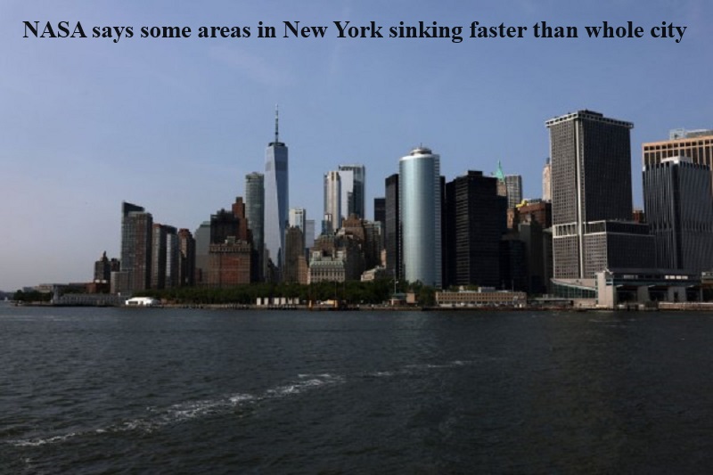
A study conducted by NASA has issued a warning that New York City, one of the most densely populated cities in the US known for its towering skyscrapers, is gradually sinking due to various factors.
The research, carried out by scientists from NASA’s Jet Propulsion Laboratory and Rutgers University, has identified specific locations within the city that are sinking at rates faster than the city’s average of 1.6 millimeters per year.
Among the areas experiencing accelerated subsidence are LaGuardia Airport, Arthur Ashe Stadium, and Coney Island.
The study attributes this increased sinking to the fact that these locations sit atop an ancient glacier that is retreating, influenced by both natural and human factors.
From 2016 to 2023, LaGuardia’s runways and Arthur Ashe Stadium were found to be sinking at rates of 3.7 and 4.6 millimeters per year, respectively.
Although the entire city is sinking due to the cumulative weight of its skyscrapers, these newly identified hotspots are experiencing more rapid subsidence due to their geological composition.
The ancient glacier once covered much of New England around 24,000 years ago, with a massive ice wall over a mile high encompassing what is now Albany in upstate New York.
Interestingly, the study also revealed some areas that are experiencing uplift. East Williamsburg in Brooklyn and Woodside in Queens are rising by approximately 1.6 millimeters and 6.9 millimeters per year, respectively.
Robert Kopp, a co-author of the study from Rutgers University, suggested that groundwater pumping and the use of injection wells to treat polluted water may be contributing to the uplift in these areas, but further investigation is required.
The study, carried out by a team of NASA scientists and researchers at Rutgers University in New Jersey, analyzed the entire city, covering five boroughs: Manhattan, Queens, Brooklyn, the Bronx, and Staten Island.
To assess vertical land motion (both uplift and subsidence) in New York City from 2016 to 2023, the researchers utilized an interferometric synthetic aperture radar (InSAR) remote sensing technique. This technique combines multiple 3D observations of the same region to reveal surface motion and topography.

Post Your Comments