China on Monday successfully launched two remote sensing satellites for its “all-weather” ally Pakistan, which will help the two countries monitor progress as they build the strategic USD 50 billion China-Pakistan Economic Corridor as well as keep an eye on India.
The launch of the two satellites marks yet another space cooperation between China and Pakistan since the launch of PAKSAT-1R, a communication satellite, in August 2011. While India is way ahead of Pakistan in space technology, the launch opens a door for Pakistan to play catch up.
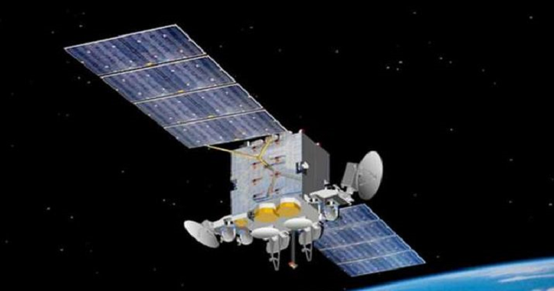
The satellites – PRSS-1 and PakTES-1A – were launched from the Jiuquan Satellite Launch Centre in northwest China at 11:56 am using a Long March-2C rocket, state-run Xinhua news agency reported.
The PRSS-1 is China’s first optical remote sensing satellite sold to Pakistan. It is the 17th satellite developed by the China Academy of Space Technology (CAST) for an overseas buyer, it said.
A scientific experiment satellite, PakTES-1A, developed by engineers of the Pakistan Space and Upper Atmosphere Research Commission (Suparco), was sent into orbit using the same rocket. After entering orbit, the PRSS-1 is in good condition with its solar panels unfolded smoothly, according to the CAST.
The PRSS-1 will be used for land and resources surveying, monitoring of natural disasters, agriculture research, urban construction and providing remote sensing information for the China-Pakistan Economic Corridor (CPEC) under the Belt and Road Initiative (BRI) of the Chinese government. It will also help keep a track of India.
The USD 50 billion CPEC is a network of infrastructure projects that are currently under construction throughout Pakistan that will connect China’s Xinjiang province with the Gwadar port in Pakistan’s Balochistan province, giving China an opening to the Arabian Sea.
Read More: Glamorizing militancy, separatist Hizbul Mujahideen releases list of terrorists
The satellite, which has a designed life of seven years, is equipped with two panchromatic/multispectral cameras, with a resolution up to a metre and a coverage range of 60 km. Designers say the two cameras are among the best exported remote sensing cameras made by China.
The satellite can turn at wide angles to enable the cameras to cover a wider range. The PRSS-1 has an information security design, and the data can be encrypted.
The data transmission system is a mature technology, which has been used in more than 20 Chinese satellites, said He Xinyang, vice president of the Xi’an branch of the CAST. When the satellite flies over Pakistan, it can send back real-time images, said Zhang Qian, a designer for the data transmission system.
Monday’s launch is the 279th mission of the Long March rocket series. Long March-2C rockets are mainly used to send satellites into low Earth or Sun-synchronous orbits. It is also the first international commercial launch for a Long March-2C rocket within nearly two decades after it carried Motorola’s Iridium satellites into orbit in 1999.
Post Your Comments