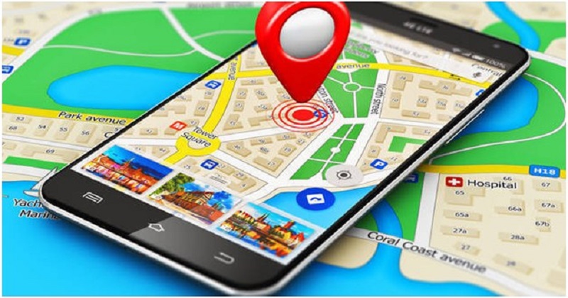
Google on Monday introduced a new feature in its Maps where commuters in Delhi will be able to see auto rickshaws under the “public transport” mode in Maps.
The new feature can be found within the ‘public transport’ and ‘cab’ modes in Google Maps and is based on the expected trip route and the official fare model shared by the Delhi Traffic Police.
The feature is based on the expected trip route and the official fare model shared by the Delhi Traffic Police.
The new feature allows you to see how long it will take to reach your destination in an auto rickshaw. It also shows the estimated cost for the travel. Indian auto rickshaws are infamous for not using their fare meter and overcharging.
The idea is to incorporate one of the most commonly used modes of public transport in Google Maps and share transparent information about the price of the journey, Google Maps product manager Vishal Dutta said.
“Currently, for an unfamiliar journey, commuters often overpay and don’t have an idea about the distance or best route,” he added.
Post Your Comments